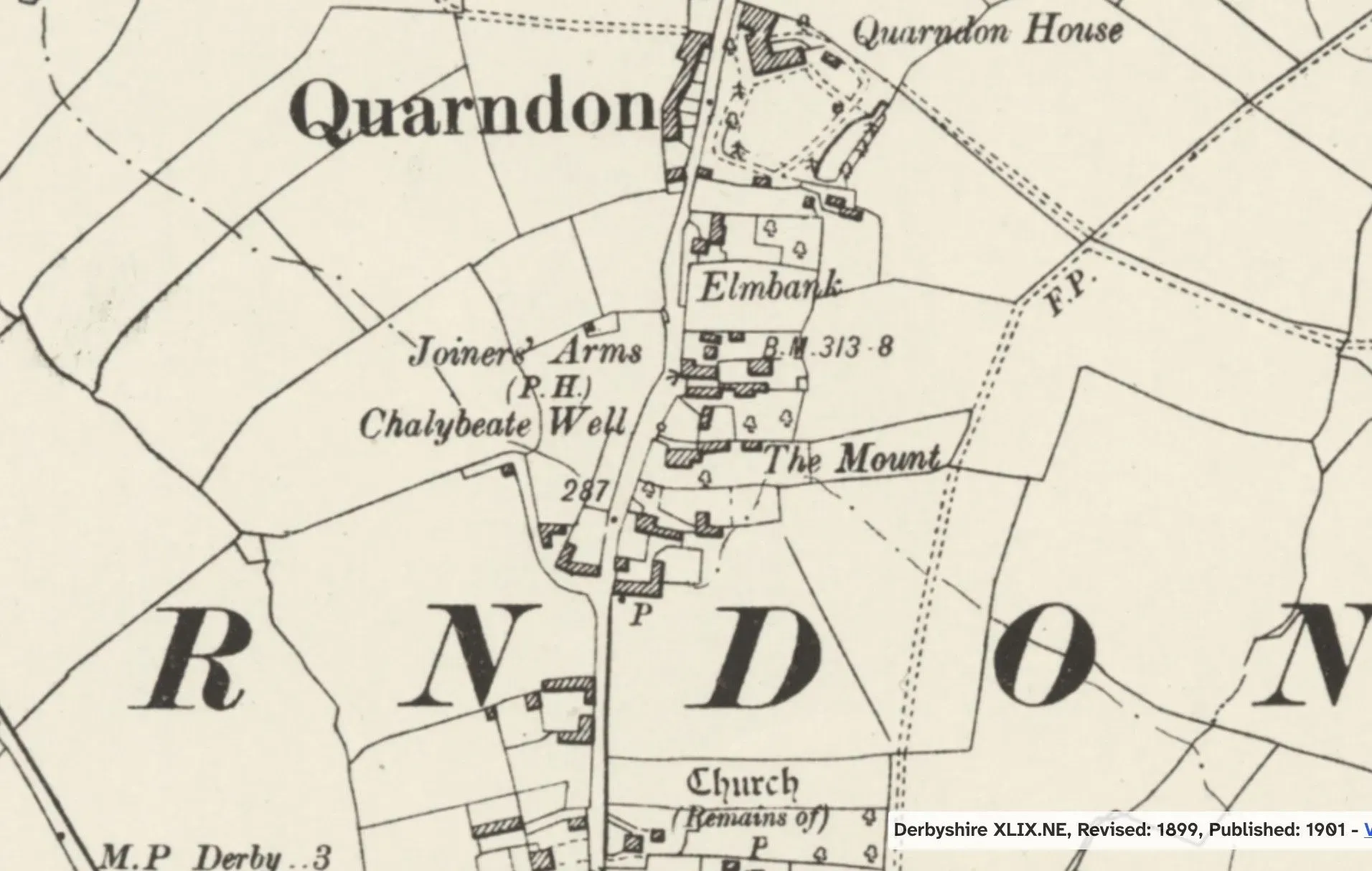
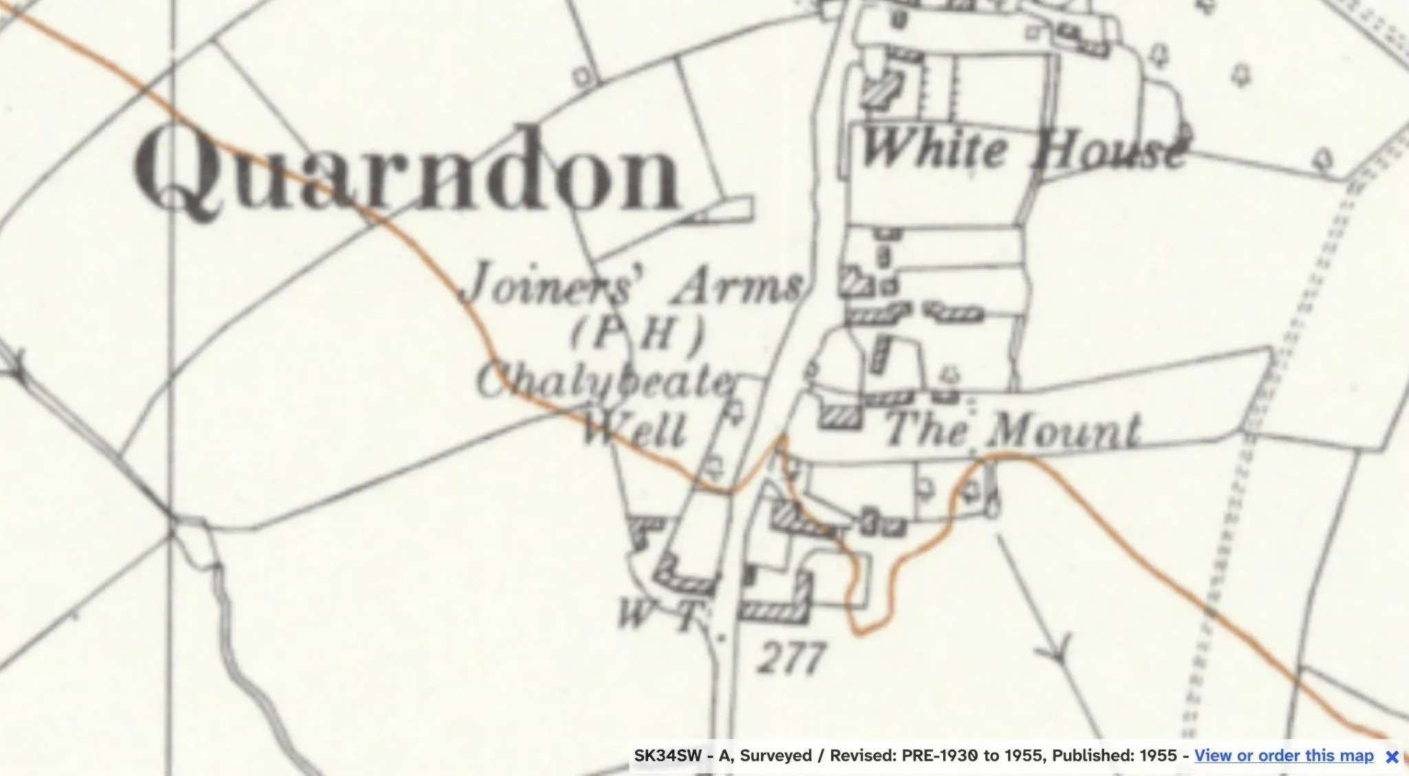
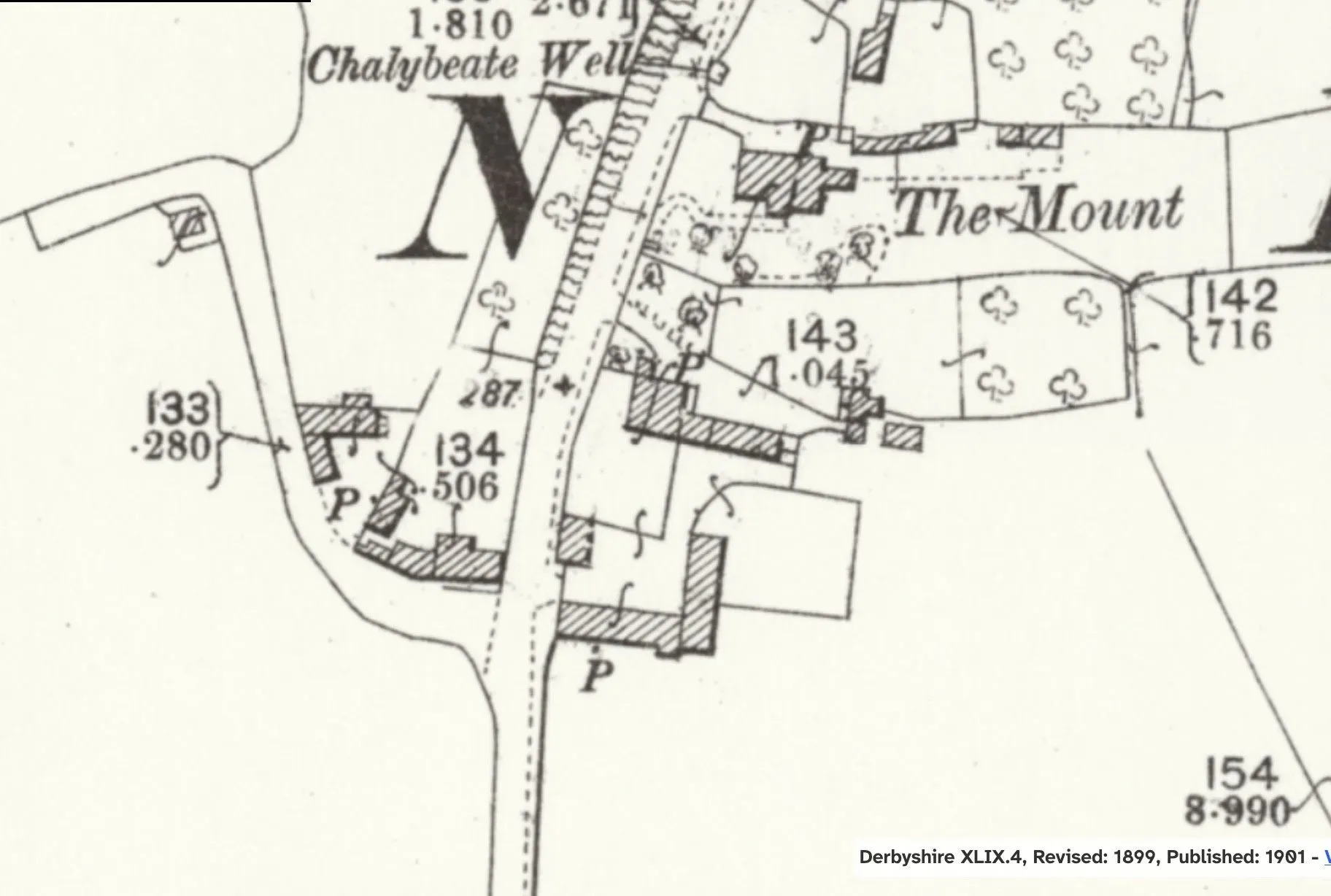
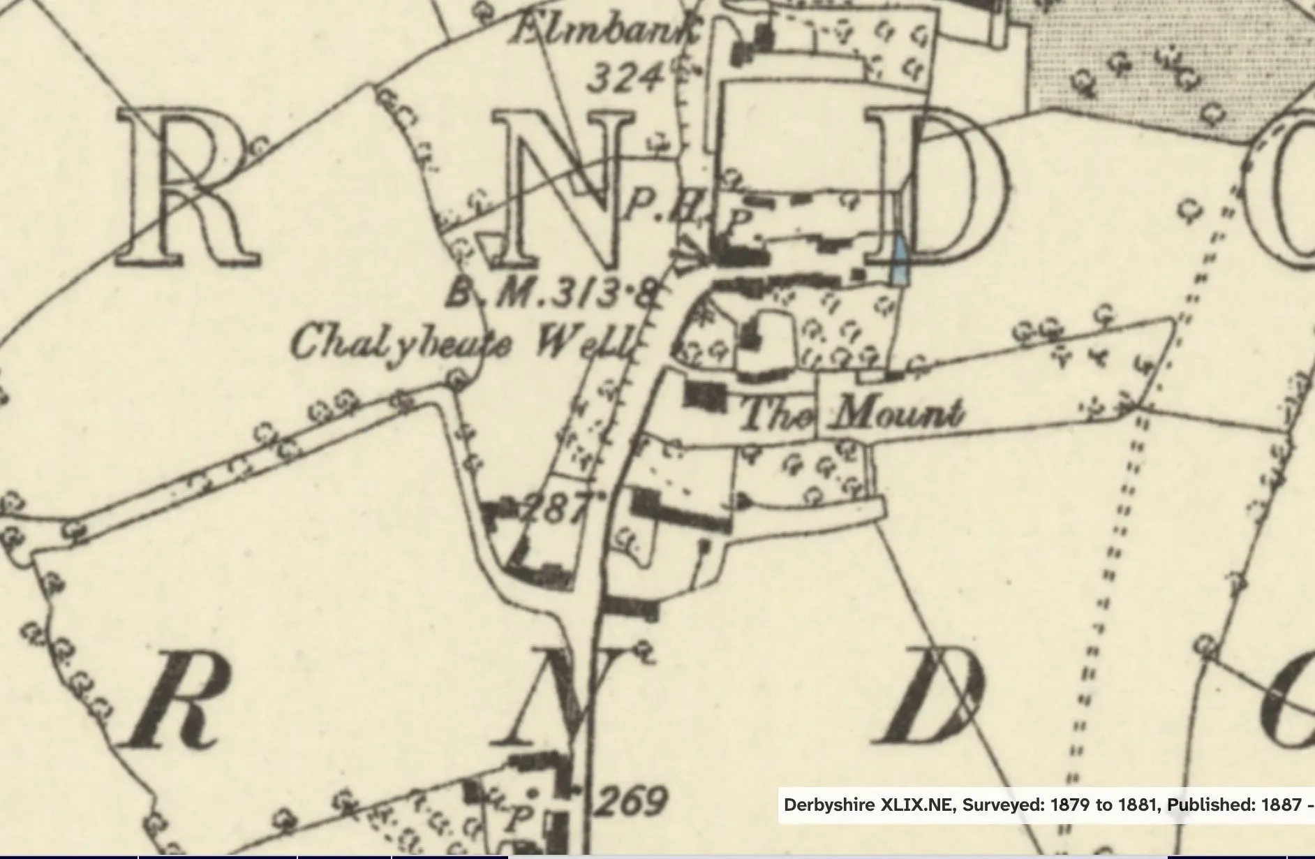
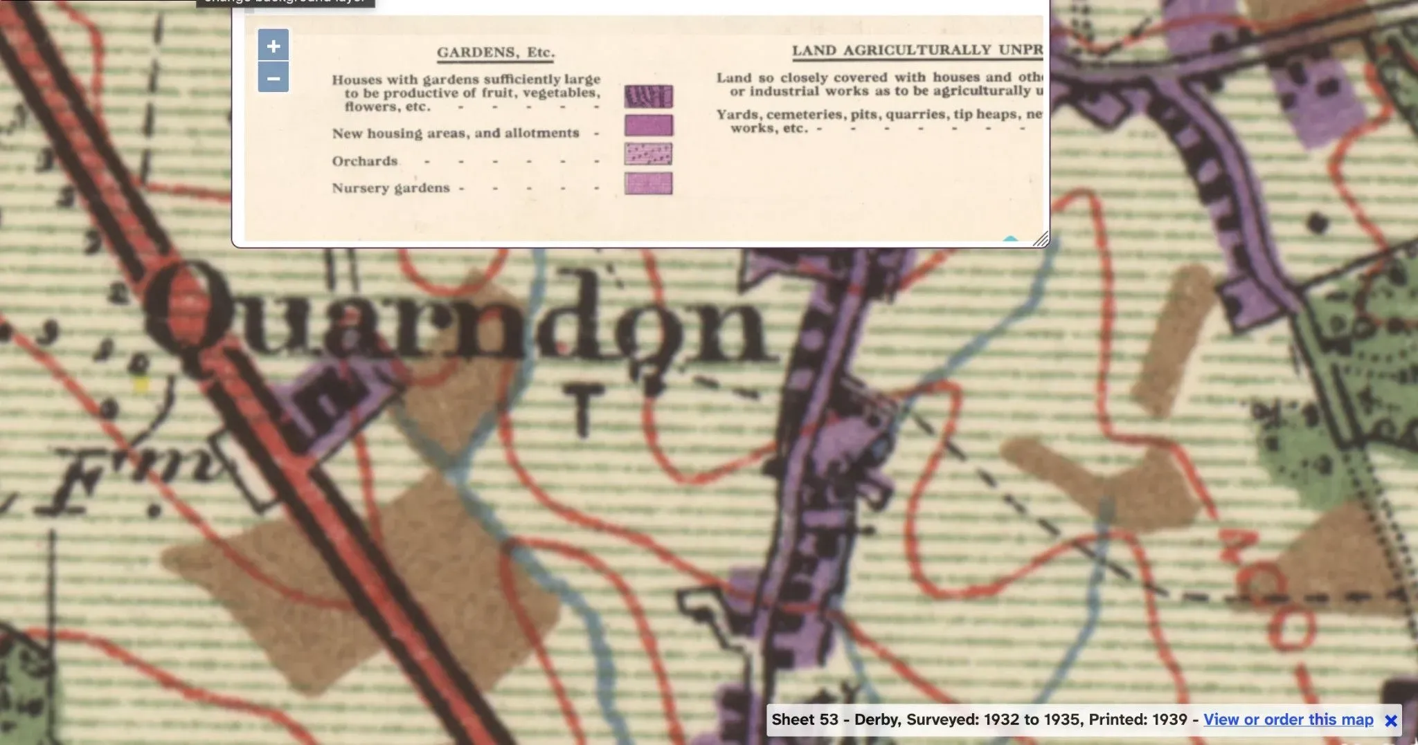
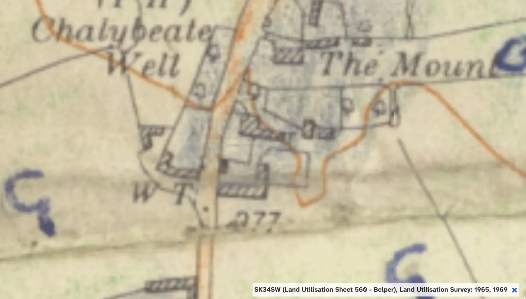
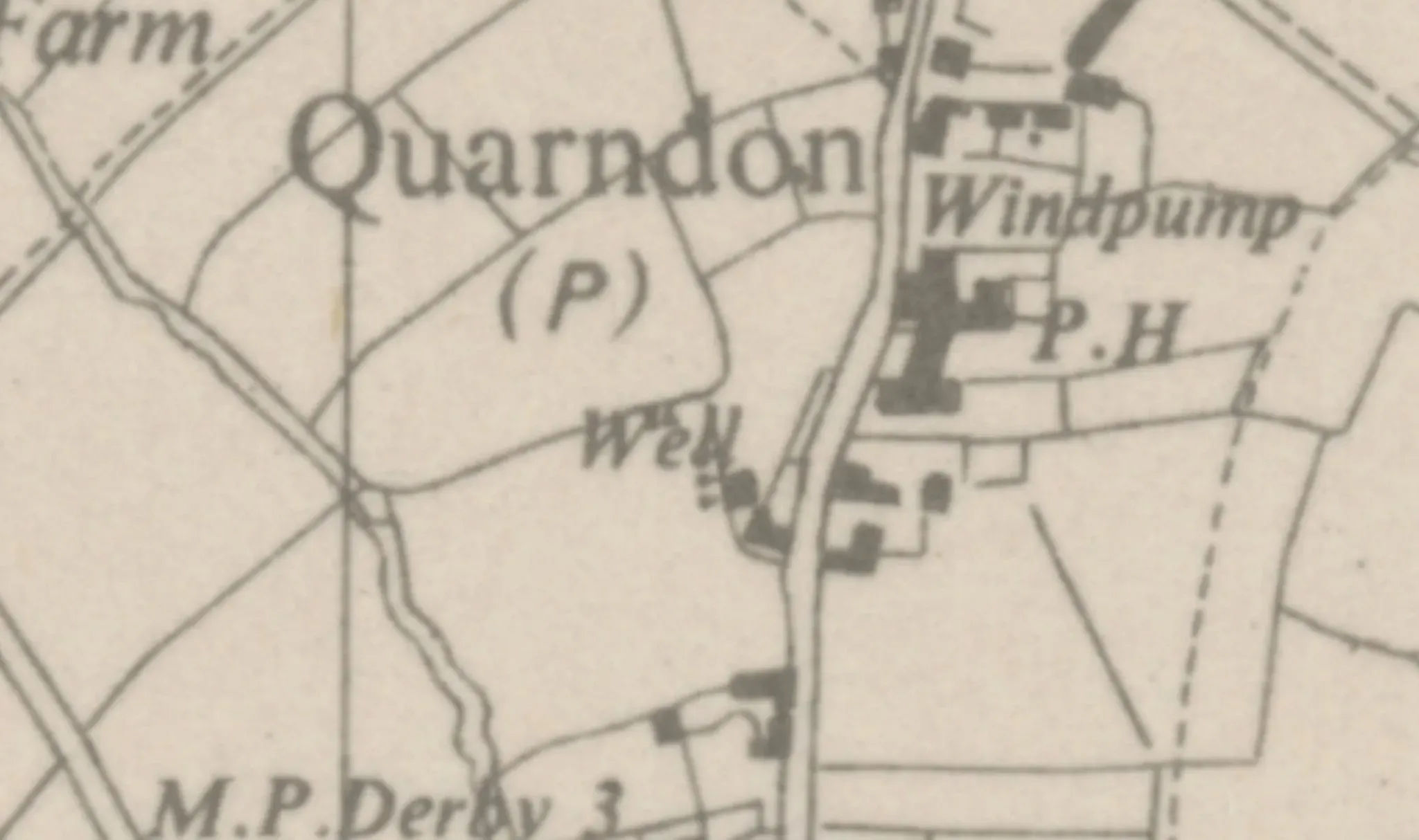
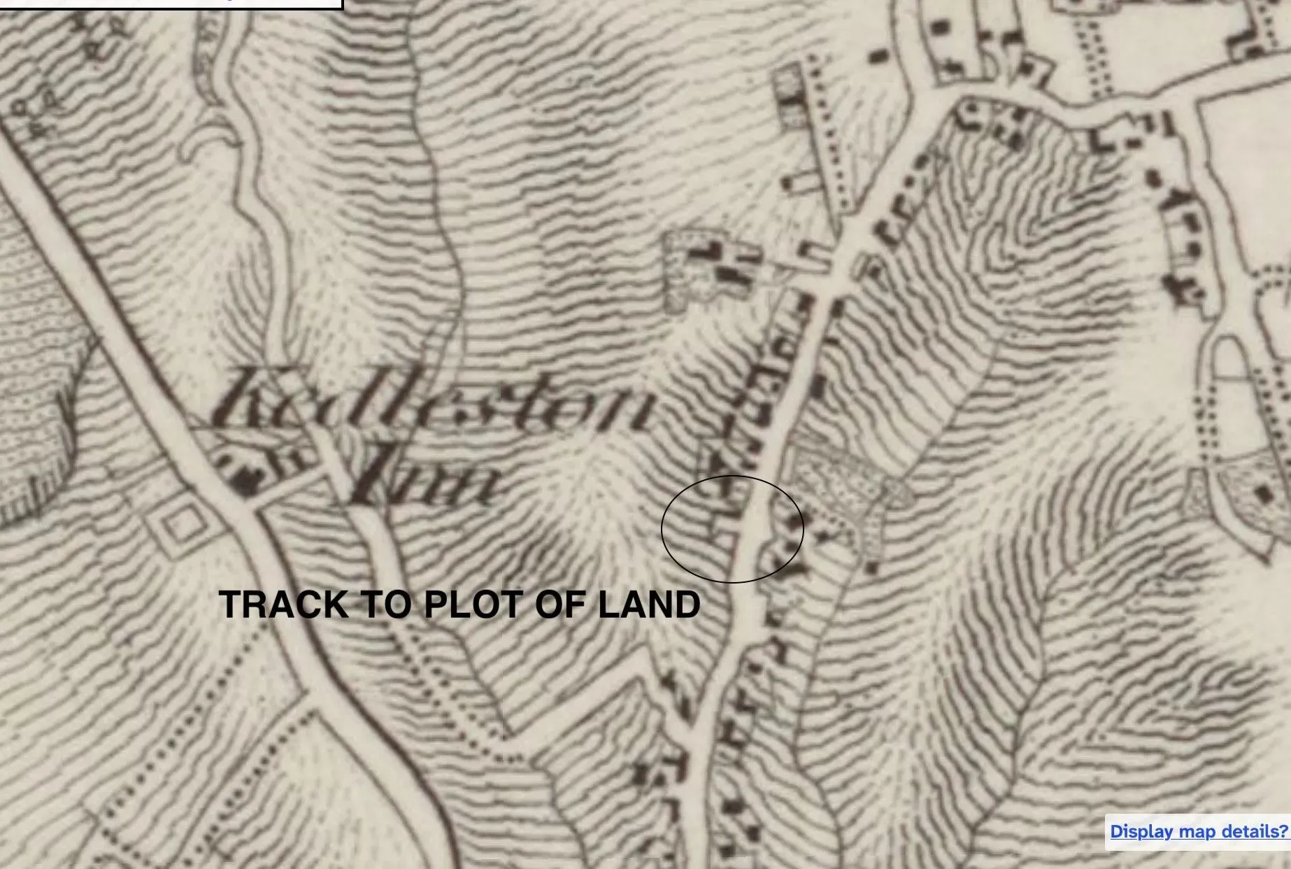
Old Maps of Quarndon
Maps of Quarndon showing old tracks & garden use.
Link to online original 1863 map
Link to online original 1887 map
Link to online original 1901 map
Link to online original 1901-B map
Link to online original 1935 map
Link to online original 1955 map
Link to online original 1960s map
Link to online original 1965 map
These maps show how buildings, roads, access points etc have changed over the years.
Old Maps Gallery- showing access - gardens