Land Solutions
At TERRA QUANTA, we specialize in geoenvironmental analysis, digital mapping, and sustainable land management. Our passion lies in ecological restoration, territory monitoring, and conservation to foster a healthier planet. Join us in transforming landscapes for a sustainable future.
Our Focus

Sustainable Land Use Planning
Developing strategies for land use that balance economic development with environmental conservation.

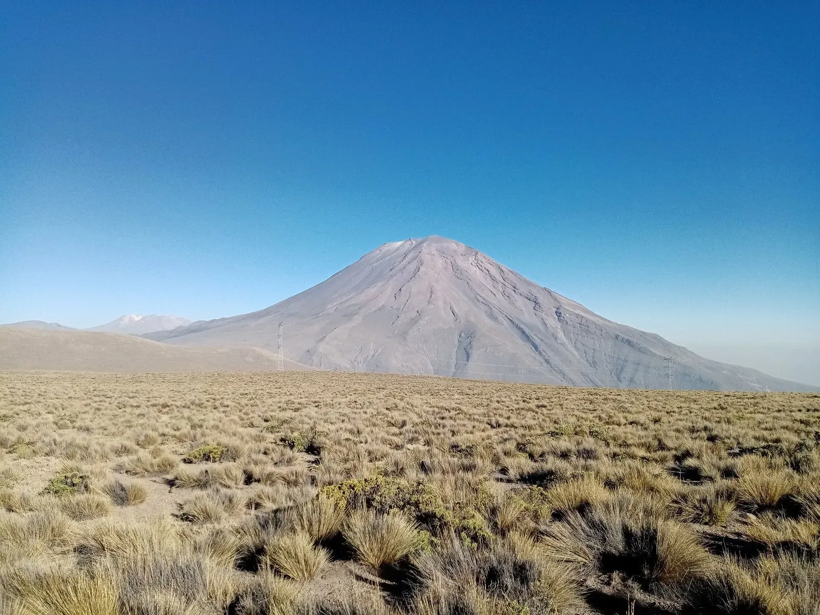
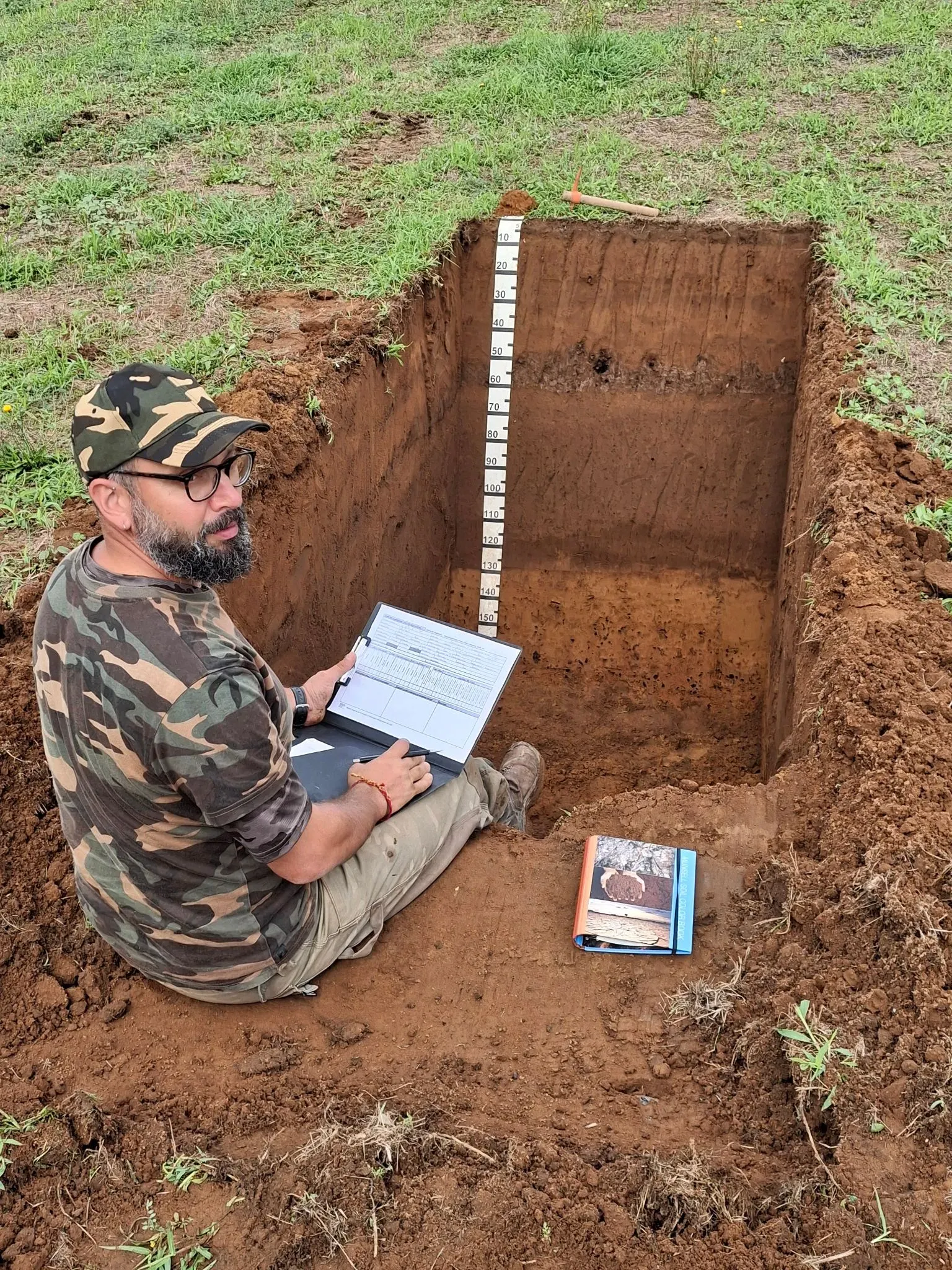
Territory Monitoring
Continuous monitoring of land and environmental changes using advanced remote sensing and data analysis techniques.
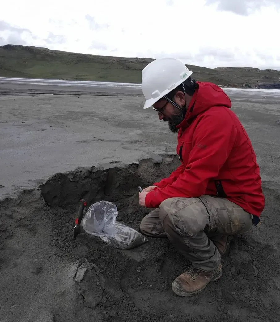
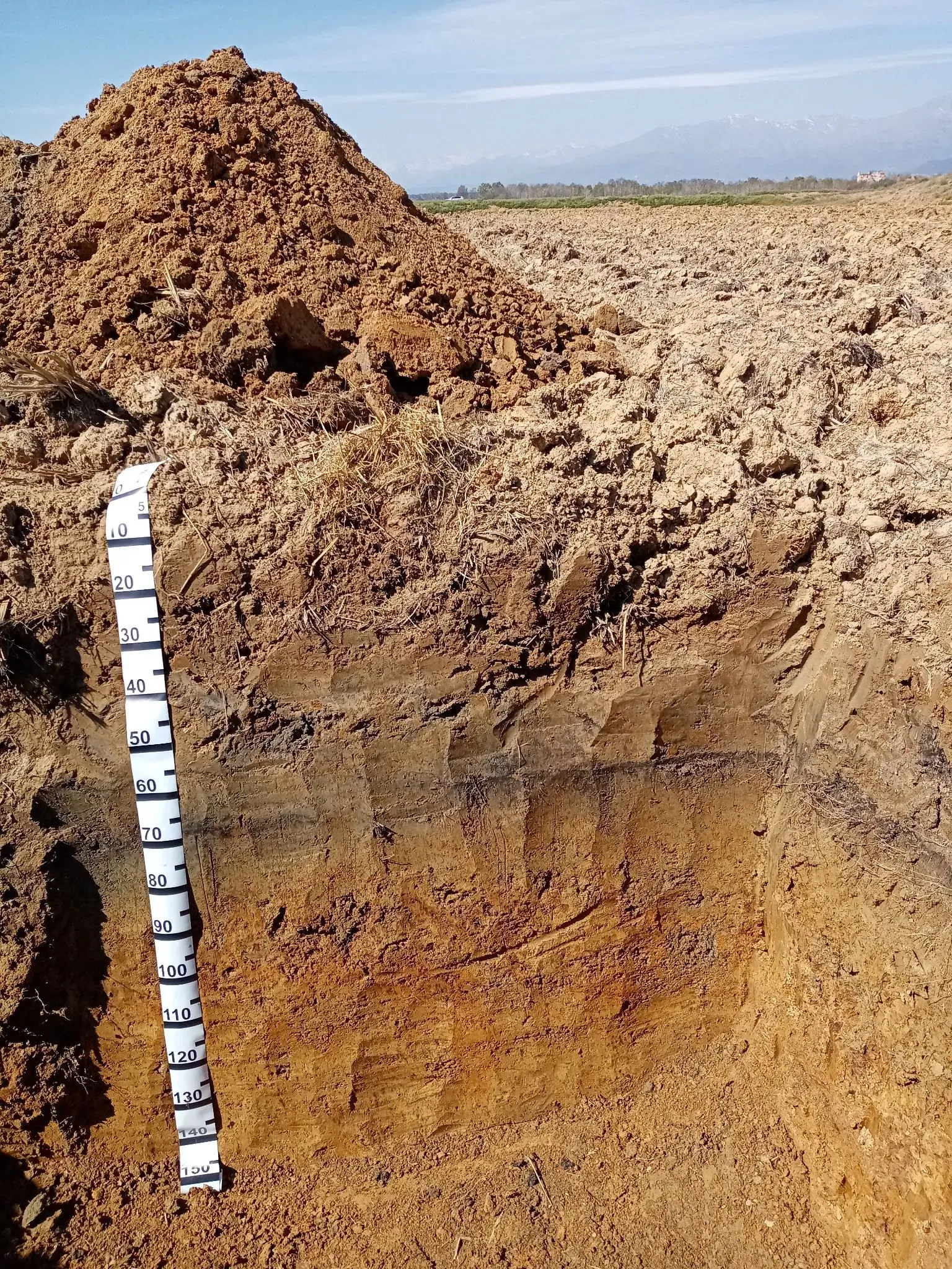
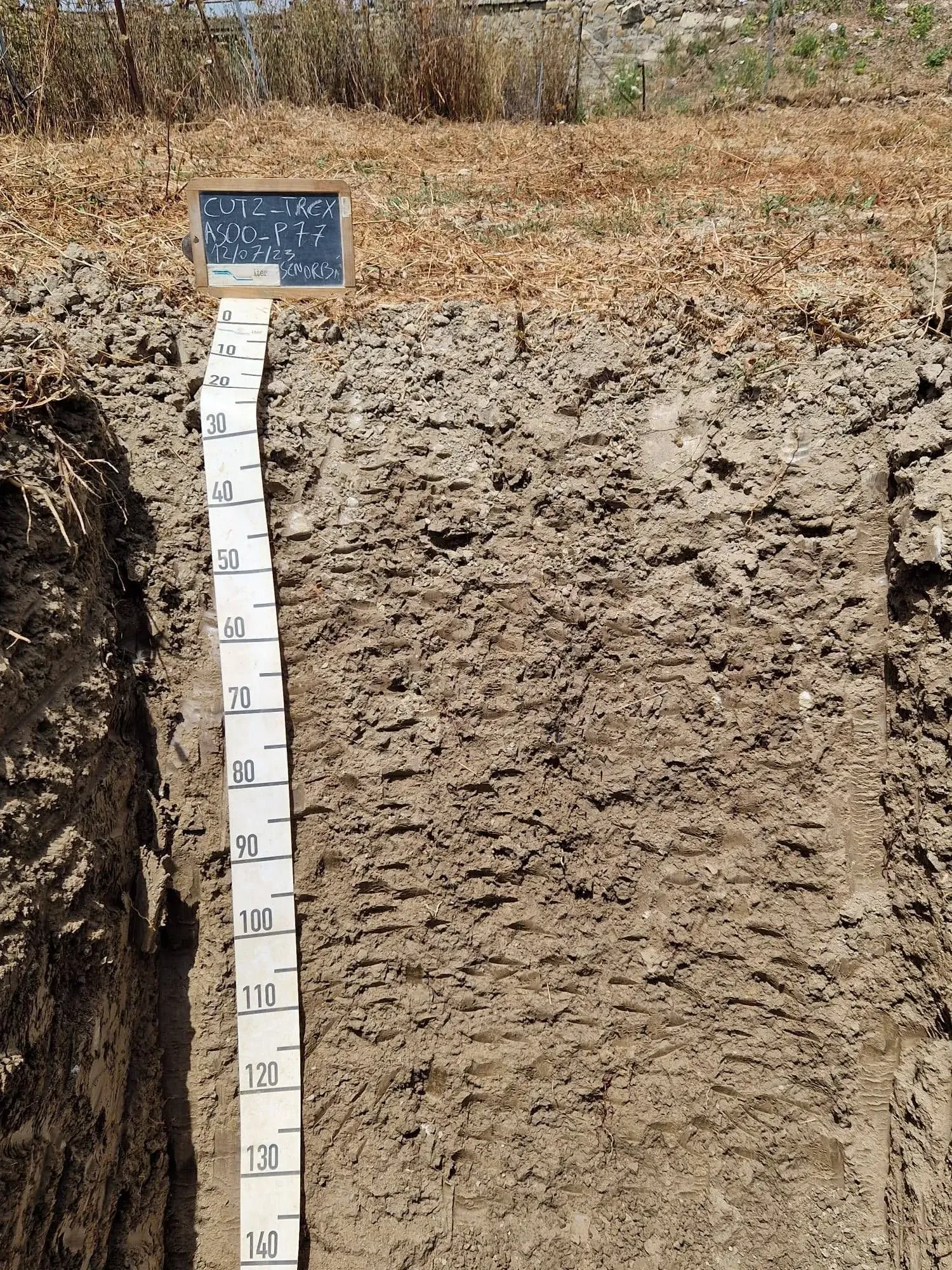
Geoenvironmental Analysis
Comprehensive study and assessment of soil, water, and climatic conditions to support sustainable land use planning.
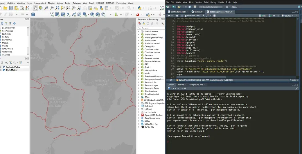
Digital Mapping and GIS
Creation of detailed digital maps using GIS technology for precise land management and planning.
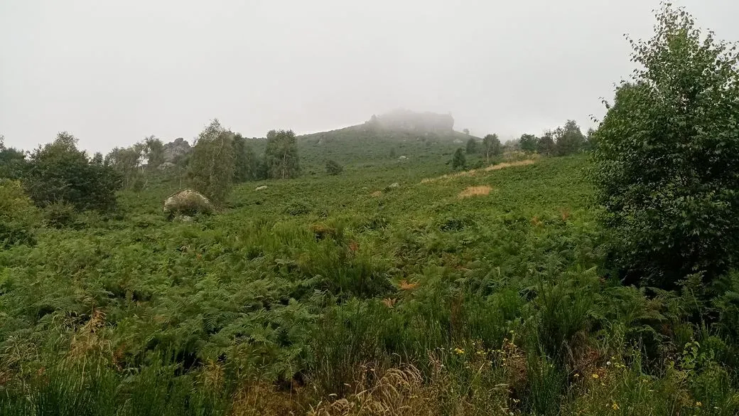
Conservation Management
Implementing conservation practices to protect natural habitats and promote biodiversity.
Terroir Analysis
Soil based geospatial and environmental solution, modelling, planning, monitoring and conservation
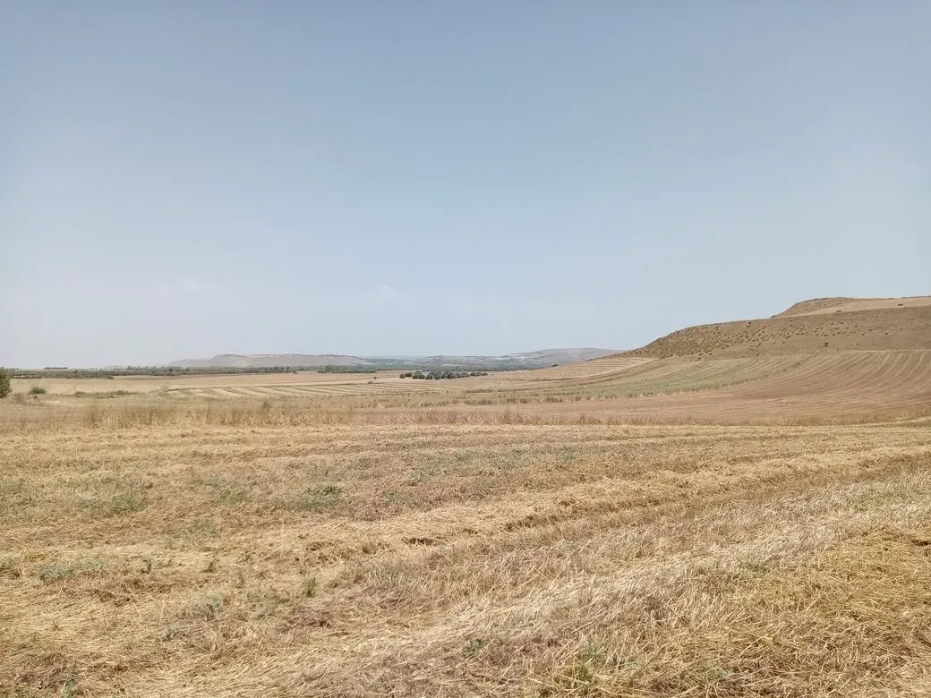
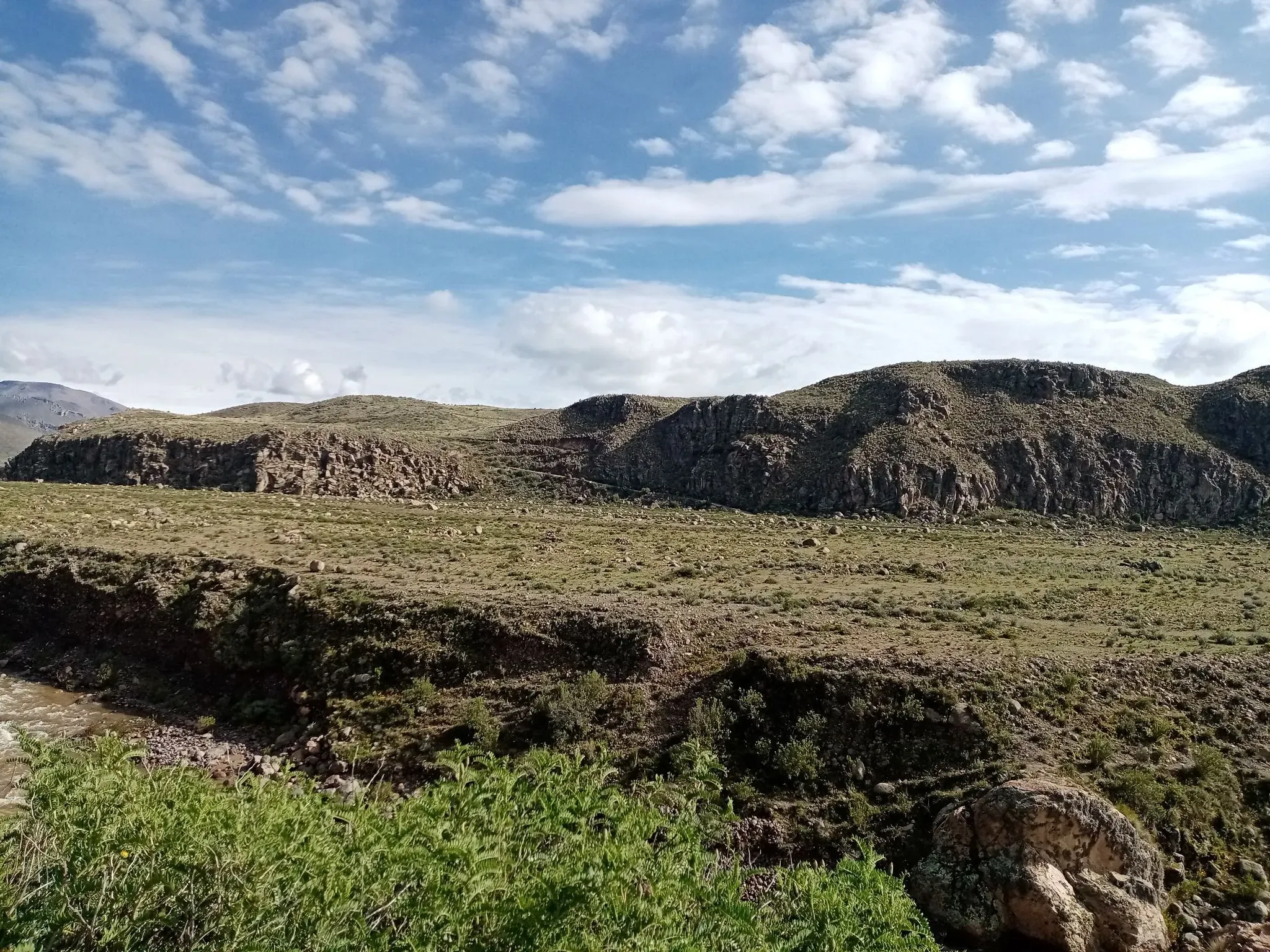
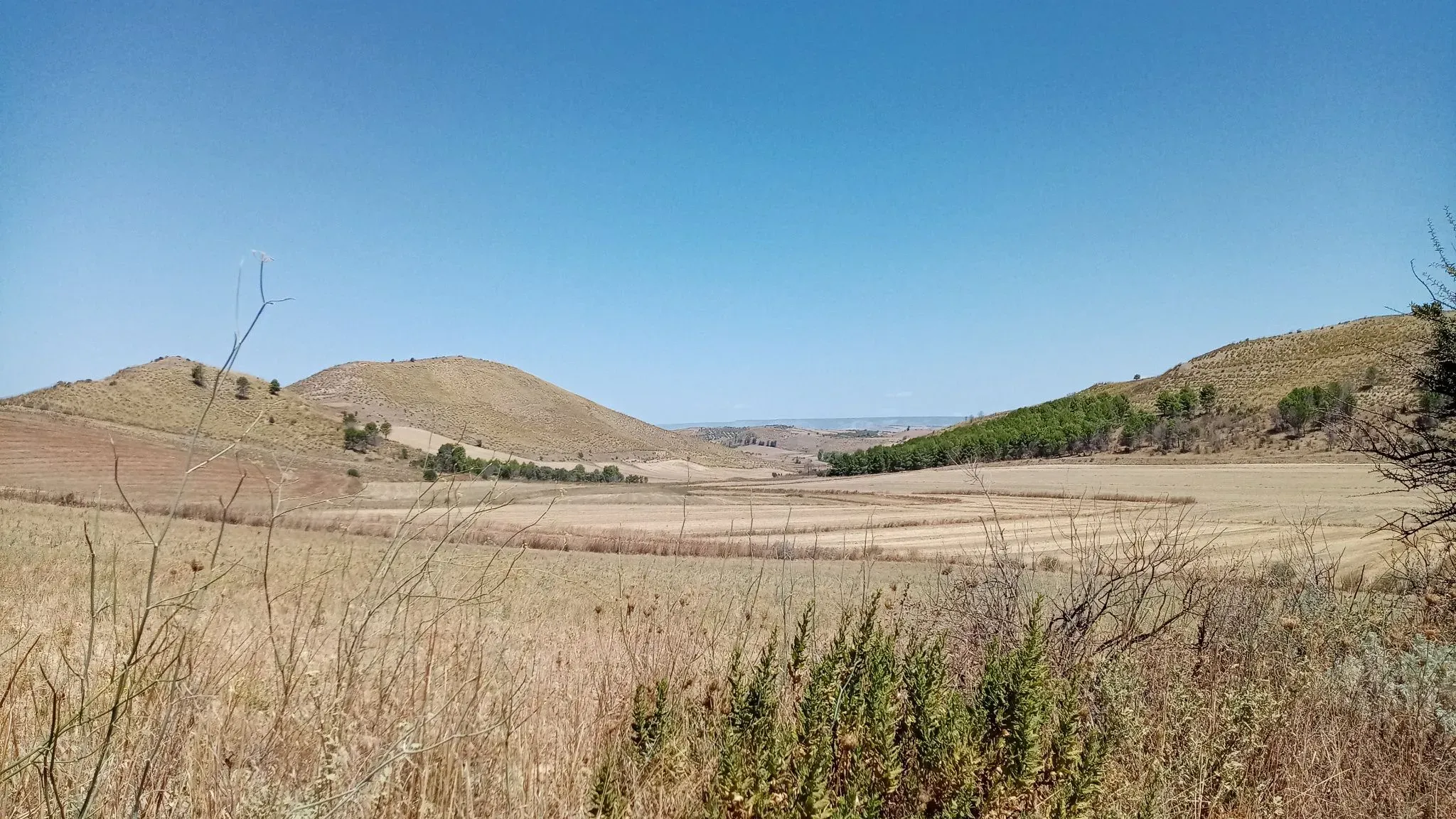
Gallery
Cultivating sustainable futures through science and care.
Join us in transforming land management!