Service charter
Courses
>Module 1_ Cartographic basics, QGIS and geodesy
>Module 2_ River basins and spatial analysis
>Module 3_ Soils and geochemistry of the territory
>Module 4_ Machine learning and pedogeomapping in R
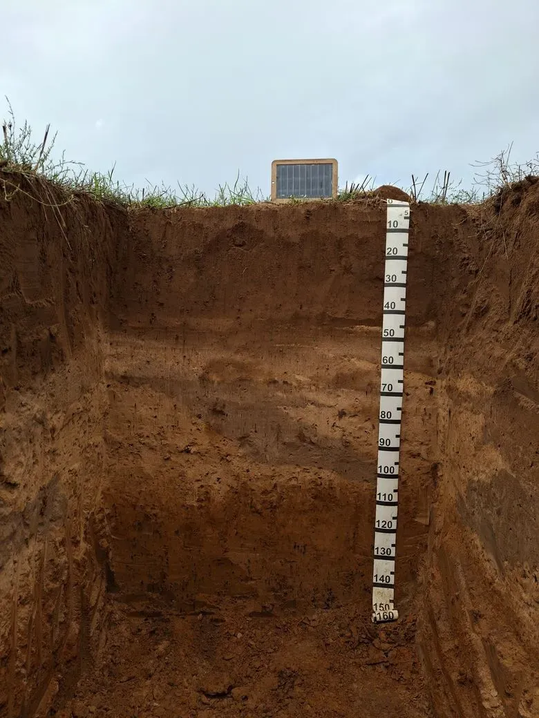
Pedology
>Land surveys with soil profiles and diagnostic horizon analysis
>Physical and chemical analysis
>Interpretation of the territory
>Soil monoliths for technicians and wine tourism
>Land evaluation
>WRB and USDA soil classification
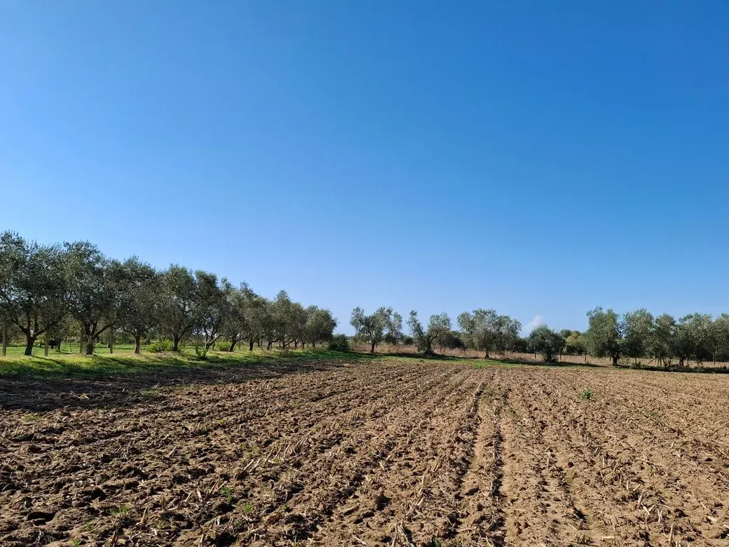
Agronomy
>Agronomic land management
>Designing sustainable farms
>Sampling of soils, rocks and water
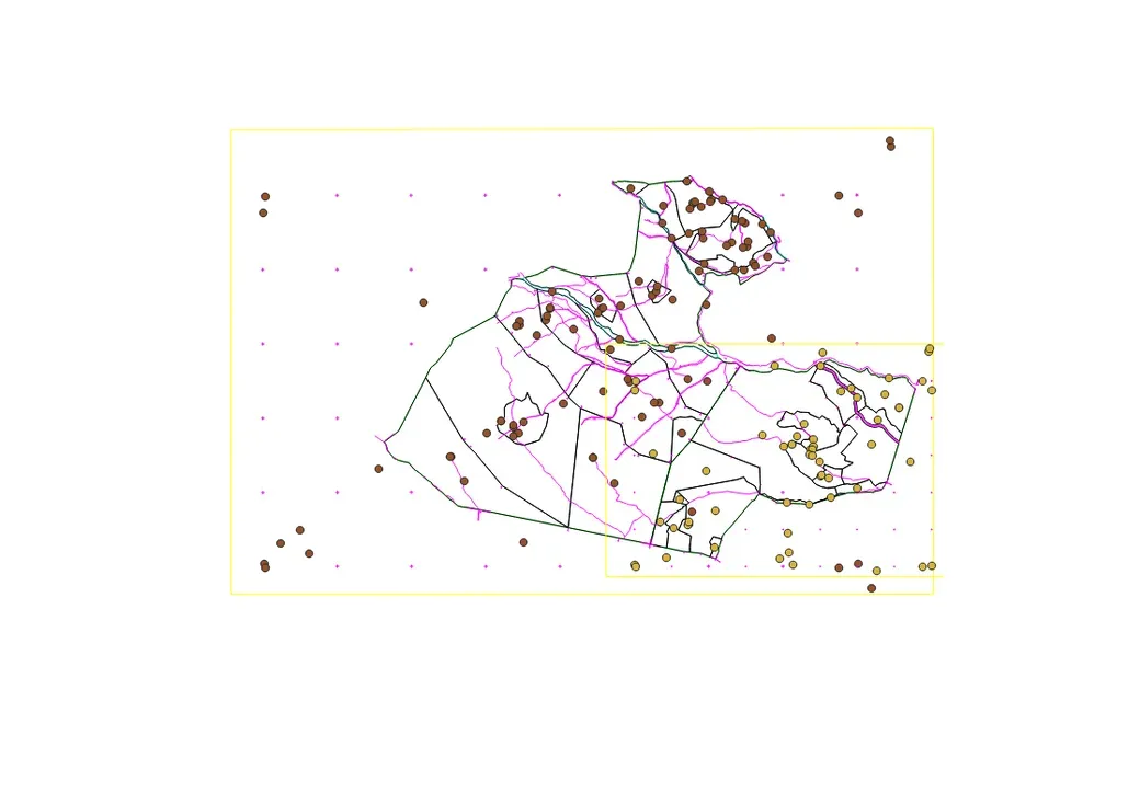
Digital cartography
>Territorial maps with digital systems
>Digital Soil Mapping of territories
>Identification of the support capacity of farm plots, identification of crus
>Georeferencing of rural properties
>Land registry and land boundaries
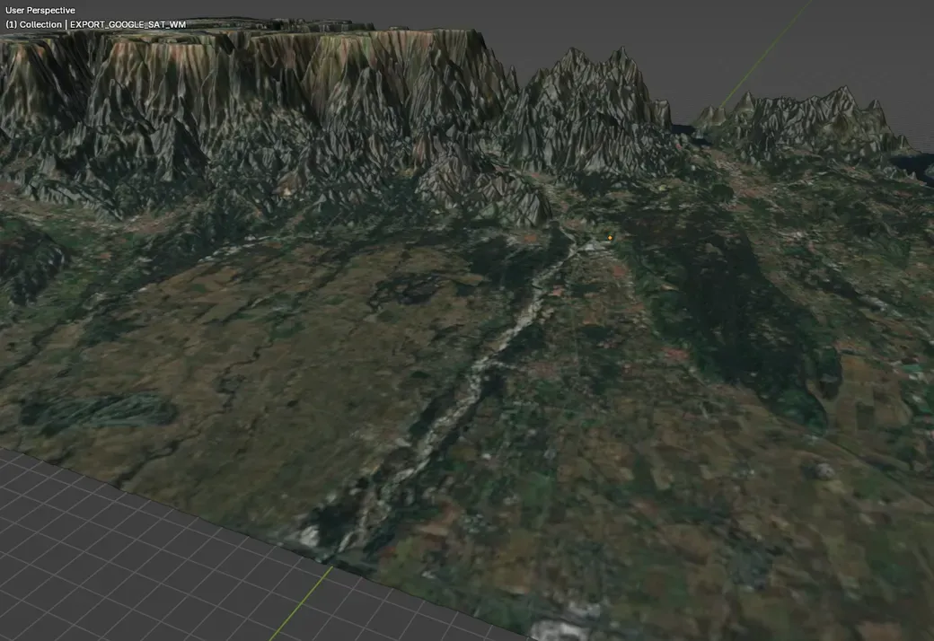
Aerial images
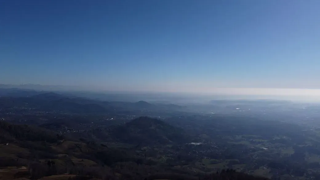
>Drone flyovers and aerial photography
>Photogrammetry